Software and Services for the Management of Public Assets in Smart Cities

Geomap helps public and private entities manage their physical and digital assets in an integrated way. Survey, digitize, and manage urban areas, assets, facilities, and infrastructure: all in a single platform.

What Geomap offers to Public Administration

A complete system of technical services and software solutions, designed for the development of Smart Cities. Gain full control over your real estate, movable assets, and urban assets, with reliable, integrable, and always-updated data.

Inventario cespiti e riconciliazione contabile Geomap

Asset inventory and reconciliation with general ledger

We perform physical inspections of the organization’s movable assets, including classification, valuation, labeling, and verification of compliance with the fixed assets register and general accounting.
The service is conducted in compliance with harmonized economic and financial accounting, producing an updated, verifiable, and audit-ready asset register.

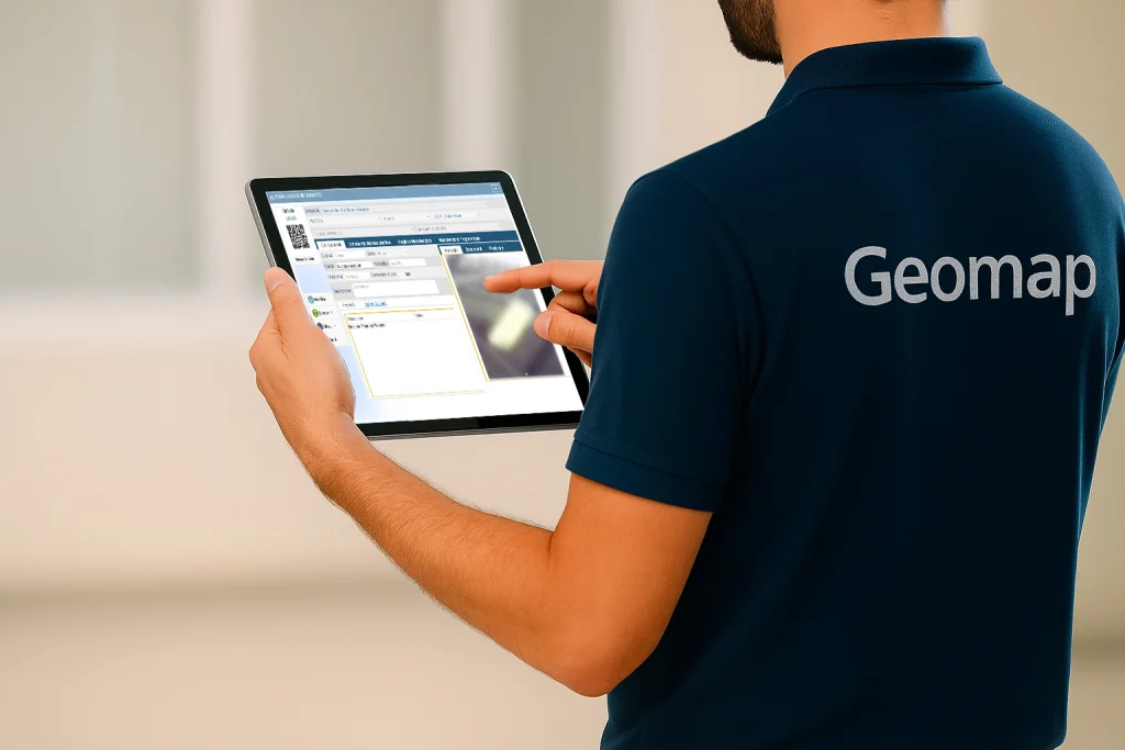
QR Code/RFID labeling and unique identification

Each asset is equipped with a durable asset label, with QR codes or RFID tags, ensuring identification, traceability, and digital querying over time.
The labels are designed for both indoor and outdoor environments and allow for more efficient management during checks, movements, and inspections.
Geomap Rilievo e censimento anagrafiche

QR Code/RFID labeling and unique identification

Each asset is equipped with a durable asset label, with QR codes or RFID tags, ensuring identification, traceability, and digital querying over time.
The labels are designed for both indoor and outdoor environments and allow for more efficient management during checks, movements, and inspections.
Rilievo e censimento impianti Geomap

Technical systems inventory and asset sheets

We collect and organize technical and documentary information about systems in public buildings, including location, components, intervention history, and construction features.
Each system becomes a digital asset, catalogued, traceable, and manageable over time, with full support for maintenance planning.

Registry cleansing and data normalization

We analyze and correct technical and accounting records, eliminating duplications, inconsistencies, and obsolete or incomplete coding.
The result is a consistent, clean database ready for integration with ERP, accounting software, or the organization’s management systems.
Geomap censimento e importazione nel sistema informativo software Facility Management

Registry cleansing and data normalization

We analyze and correct technical and accounting records, eliminating duplications, inconsistencies, and obsolete or incomplete coding.
The result is a consistent, clean database ready for integration with ERP, accounting software, or the organization’s management systems.
Geomap Riconciliazione Contabile

Production of an updated and integrable fixed asset register

We deliver a digital asset register, consistent with the physical evidence collected and ready for import into the institution’s accounting systems.
The register is available in interoperable formats (Excel, CSV, XML) and accompanied by technical reports and reconciliation documentation.
Geomap rilievo laser scanner 3d digital twin

3D laser scanner survey of public buildings

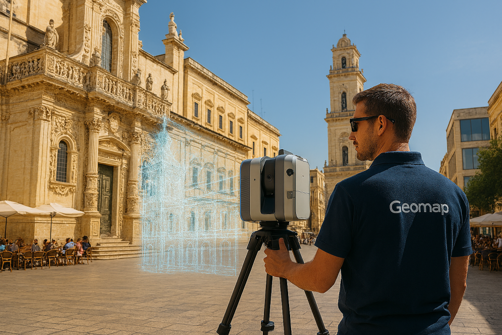
We use 3D laser scanning technology to capture the complete geometry of public buildings and complex structures, both internal and external, generating highly dense, georeferenced, and metrically reliable point clouds.
The survey forms the basis for modeling, design, and the creation of digital twins for public buildings.

Aerial photogrammetry and drone surveys

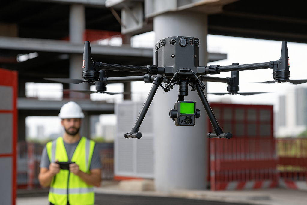
We conduct aerial surveys using drones equipped with photogrammetric and LiDAR sensors, ideal for covering large urban areas, rural areas, schools, sports facilities, or cemeteries.
The data obtained allows for the accurate digital reconstruction of areas and volumes, to update land registers, plan interventions, or digitize municipal assets.
Geomap Aerofotogrammetria e rilievo LiDAR con drone

Aerial photogrammetry and drone surveys

We conduct aerial surveys using drones equipped with photogrammetric and LiDAR sensors, ideal for covering large urban areas, rural areas, schools, sports facilities, or cemeteries.
The data obtained allows for the accurate digital reconstruction of areas and volumes, to update land registers, plan interventions, or digitize municipal assets.
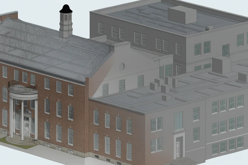
Scan to BIM Geomap

Scan to BIM and point cloud modeling

Starting from the point clouds generated by the survey, we develop BIM models in Revit or IFC format, compliant with the National Scan to BIM Guidelines and buildingSMART openBIM standards.
The models can be created with different levels of detail (LOD, LOG, LOI), ready to support design, cost estimating, maintenance, or technical management.

Creating the Digital Twin for Buildings and Infrastructure

Every survey and model can be transformed into a Digital Twin: a navigable digital copy of the property or infrastructure, complete with technical, planimetric, and documentary information.
The Digital Twin can be accessed online, queried, and updated over time, ready to be integrated into the organization’s management and maintenance workflows.
Digitalizzazione immobili con scansione laser Geomap

Creating the Digital Twin for Buildings and Infrastructure

Every survey and model can be transformed into a Digital Twin: a navigable digital copy of the property or infrastructure, complete with technical, planimetric, and documentary information.
The Digital Twin can be accessed online, queried, and updated over time, ready to be integrated into the organization’s management and maintenance workflows.
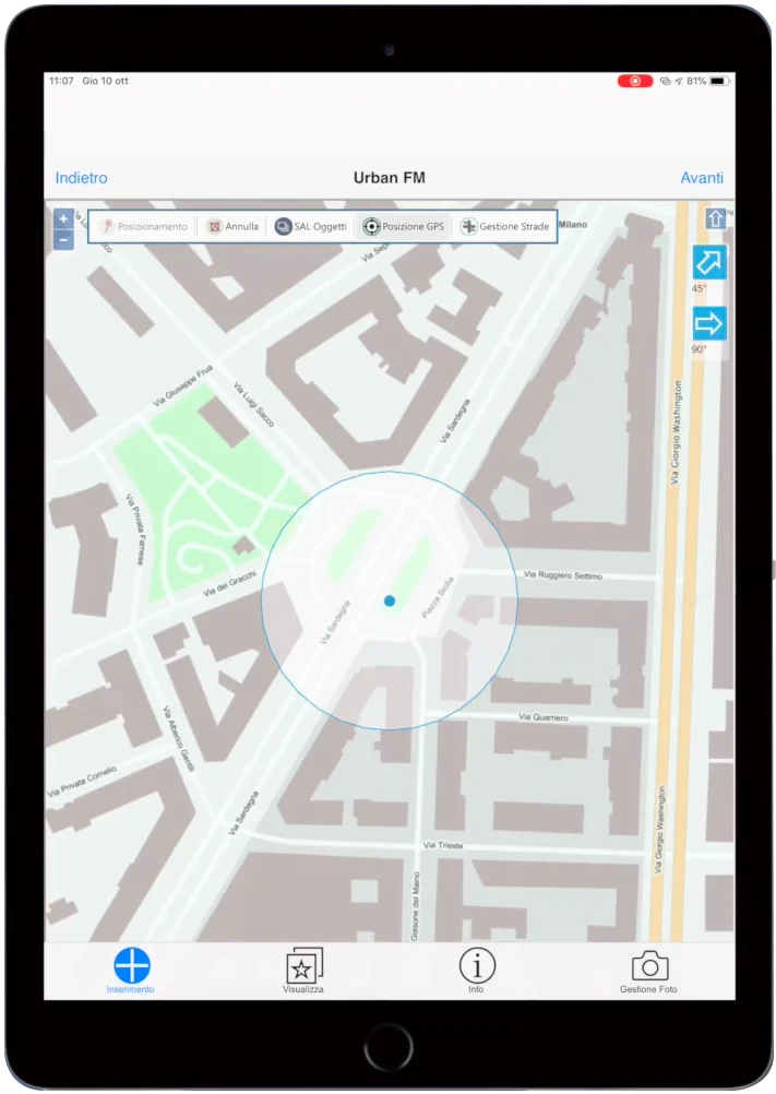
Georeferenziazione Geomap UFM

Census and georeferenced management of urban heritage

We detect, classify, and geolocate urban heritage elements such as roads, networks, light poles, public greenery, furniture, signage, and technical artifacts, creating an up-to-date technical database.
Each asset is linked to information sheets, location, and status, and is ready to be managed according to maintenance and strategic logic.
Tracking on maps and interactive floor plans

The surveyed data is displayed on interactive maps or digital floor plans, making it easy for technicians and officials to consult.
It’s possible to filter by type, location, status, or cost center, and schedule interventions directly from the system.
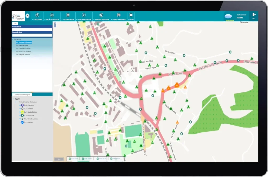
Cartografia Geomap UFM

Tracking on maps and interactive floor plans

The surveyed data is displayed on interactive maps or digital floor plans, making it easy for technicians and officials to consult.
It’s possible to filter by type, location, status, or cost center, and schedule interventions directly from the system.
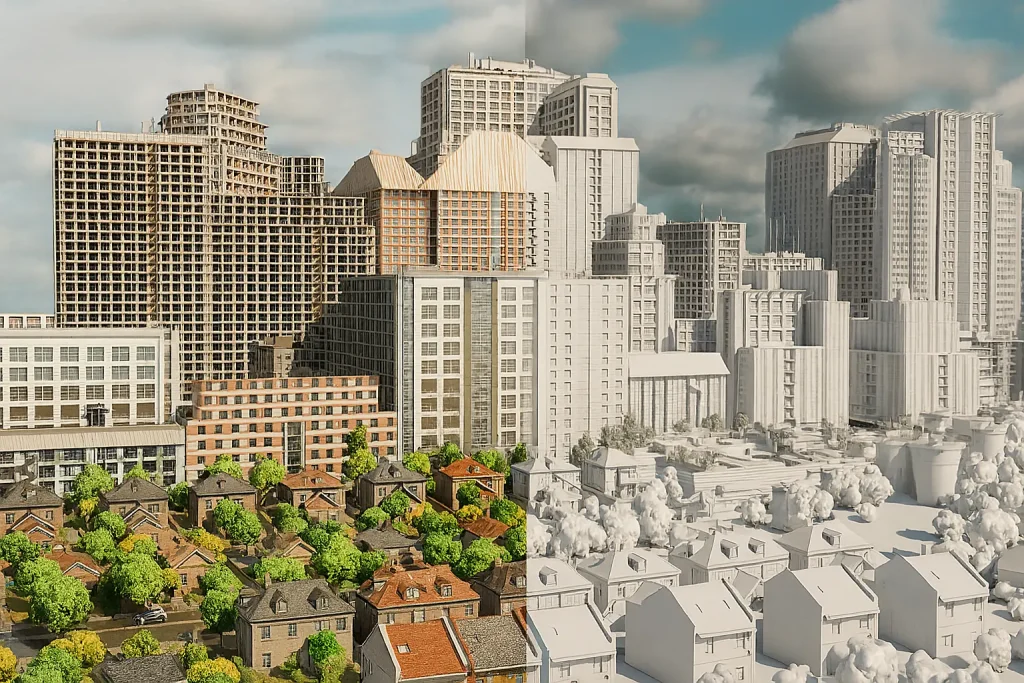
Geomap Digital Twin

Creating the Urban Digital Twin

We create a digital representation of the city, with updated, geolocalized, and connected public assets.
The urban Digital Twin becomes a accessible platform for strategic assessments, three-year plans, maintenance, PNRR calls for tenders, and asset lifecycle monitoring.

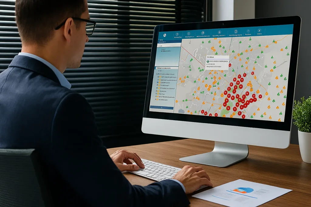
Software Geomap UFM – Urban Facility Management

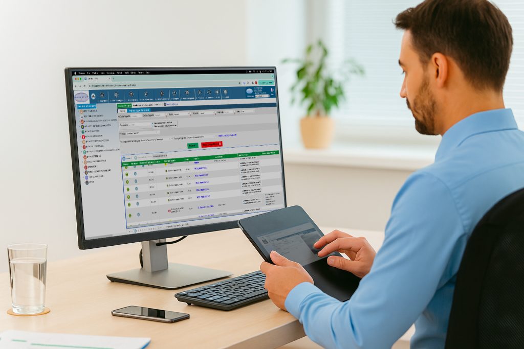
Geomap UFM is the integrated system for the technical management of urban assets: it allows you to plan, track, monitor, and document every intervention on public assets and infrastructure.
Equipped with a GIS-based web interface, it also supports customized workflows, budget management, reports, and decision-making dashboards.
Feomap UFM Urban Facility Management

Software Geomap UFM – Urban Facility Management

Geomap UFM is the integrated system for the technical management of urban assets: it allows you to plan, track, monitor, and document every intervention on public assets and infrastructure.
Equipped with a GIS-based web interface, it also supports customized workflows, budget management, reports, and decision-making dashboards.

Managing public assets requires cross-disciplinary skills, reliable technologies, and the ability to adapt to complex realities and stringent regulations: these are the pillars on which the Geomap approach is based.

The activities are carried out using a methodology already applied in dozens of public bodies, ensuring regulatory compliance, auditability, and documented quality.
Physical, digital, and accounting data are standardized, integrated, and made queryable in a single system, accessible throughout the organization.
The software enables effective management of urban assets, facilitating planning, maintenance, and reporting.
Each intervention is accompanied by operational support, internal training, and technical support in preparing tender notices and tender documents.

Geomap is certified according to the UNI EN ISO 9001:2015 standard for the provision of:

  • Topographic surveys
  • 3D laser scanner surveys
  • LiDAR aerial photogrammetric surveys with drones
  • Technical registry activities
Certificazione Iso 9001 Geomap
Iso 45001 geomap
Certificazione Pas 24000 geomap
Documented quality, traceable processes, and results that consistently meet expectations, even in the most complex projects.
Rely on a certified, recognized, and excellence-oriented partner.

With Geomap at your side, you manage the future of your real estate assets

We are partners of buildingSMART

Geomap is an active member of buildingSMART, the international organization driving the digital transformation of the built environment through open standards, interoperability, and continuous innovation.

Frequently Asked Questions for Public Administrations

Yes. Surveys and census activities are carried out at all of the organization's operational sites, including schools, museums, sports facilities, decentralized offices, and properties on loan.
The operations are planned with the organization to minimize operational impact and ensure complete and verifiable coverage.

Absolutely. The data produced by Geomap (assets, systems, networks, urban assets) is provided in interoperable formats (CSV, XML, Excel, API, IFC) and can be integrated with the institution's existing information systems, such as:
ERP accounting systems, GIS systems, document management platforms, tax, maintenance, or land registry software.

Yes. Geomap UFM is designed to manage georeferenced urban assets such as roads, public lighting systems, greenery, street furniture, technology networks, and underground utilities.
Each element is surveyed, catalogued, displayed on a map, and managed with maintenance flows, reports, costs, and priorities.

Yes. The urban or building digital twin provides an up-to-date, navigable, and queryable representation of public assets, useful for:

  • mapping actual needs,
  • preparing technical tender documentation,
  • assessing intervention priorities and cost estimates,
  • reporting investments on platforms such as BDAP, SIGeCo, or OpenCUP.

Yes. The asset labels used by Geomap are resistant to weather, abrasion, vandalism, and chemical sanitization, and are selected based on the context of use (indoor, urban, school, technical).
They are also available in UHF RFID versions for multiple readings and automatic identification from gates or PDAs.

Yes. Upon completion of the activities, operational training is provided to staff, both in person and online, with the provision of manuals, video tutorials, and post-activation support.
The goal is to enable the organization to independently consult, update, and manage its assets, with ongoing technical support from the Geomap team.

Next step

Book a free consultation with one of our experts. In 30 minutes, you’ll discover how we can help you transform your organization’s asset management into a strategic, efficient, and fully compliant asset.