Aerial Photogrammetry and LiDAR Survey with Drone

With Geomap, you can acquire high-resolution geospatial data from drones and transform it into reliable digital models. Ideal for urban, industrial, infrastructural, environmental, or agricultural surveys.

Geomap Aerofotogrammetria e rilievo LiDAR con drone

For over 25 years, we have supported .

From flight planning to digital model in 3 clear steps

Aerofotogrammetria rilievo gromap con drone dji mavic

Planning and surveying with drone

Each project begins with technical flight planning, tailored to the area, morphology, and objectives of the survey.
We define the sensor type (photogrammetric or LiDAR), the operating altitude, and the overlap between images or laser beams to achieve maximum accuracy.

The survey is performed by certified operators, using professional drones equipped with high-precision GNSS with RTK correction, even in areas inaccessible from the ground.
We thus acquire georeferenced images or LiDAR data ready for processing, in full compliance with regulations.

Photogrammetric processing and LiDAR data

The acquired data is processed with professional software to generate high-precision geospatial products.
From photogrammetric images, we obtain orthophotos, DSMs (digital surface models), and DTMs (terrain models); from LiDAR data, we obtain extremely high-density point clouds.
Each output is optimized to ensure:
  • Metric accuracy, even over large or complex areas
  • Terrain readability even under trees (thanks to LiDAR)
  • Compatibility with GIS, BIM, or CAD systems
The result is a solid technical foundation for reliable 3D analysis, design, and modeling.

Model production and delivery

Starting from the processed data, we produce the final digital models: high-resolution orthophotos, point clouds, DTM/DSM, contour lines, meshes, and 3D surfaces.
The files are provided in the most popular industry formats (GeoTIFF, GeoJPEG, SHP, LAS, E57, XYZ, LAY, etc.), ready for integration into your work environments.
Upon request, the models can be uploaded directly into Geomap software, for easier use for facility, asset, or city management purposes.
Each delivery is accompanied by technical reports, metadata, and dedicated support for data use.

Geomap is certified according to the UNI EN ISO 9001:2015 standard for the provision of:

  • Topographic surveys
  • 3D laser scanner surveys
  • LiDAR aerial photogrammetric surveys with drones
  • Technical registry activities
Certificazione Iso 9001 Geomap
Iso 45001 geomap
Certificazione Pas 24000 geomap
Documented quality, traceable processes, and results that consistently meet expectations, even in the most complex projects.
Rely on a certified, recognized, and excellence-oriented partner.

Still having doubts about drone surveying or want to know if it's right for your project?

Why choose Geomap Survey?

Maximum precision and advanced technology – Professional LiDAR and photogrammetric sensors
Internal team certified at every operational stage – technical and regulatory support
Perfect integration with the software – data immediately usable in the platform

Related services

Geomap rilievo laser scanner 3d digital twin

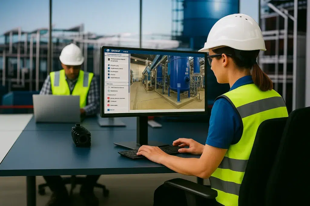
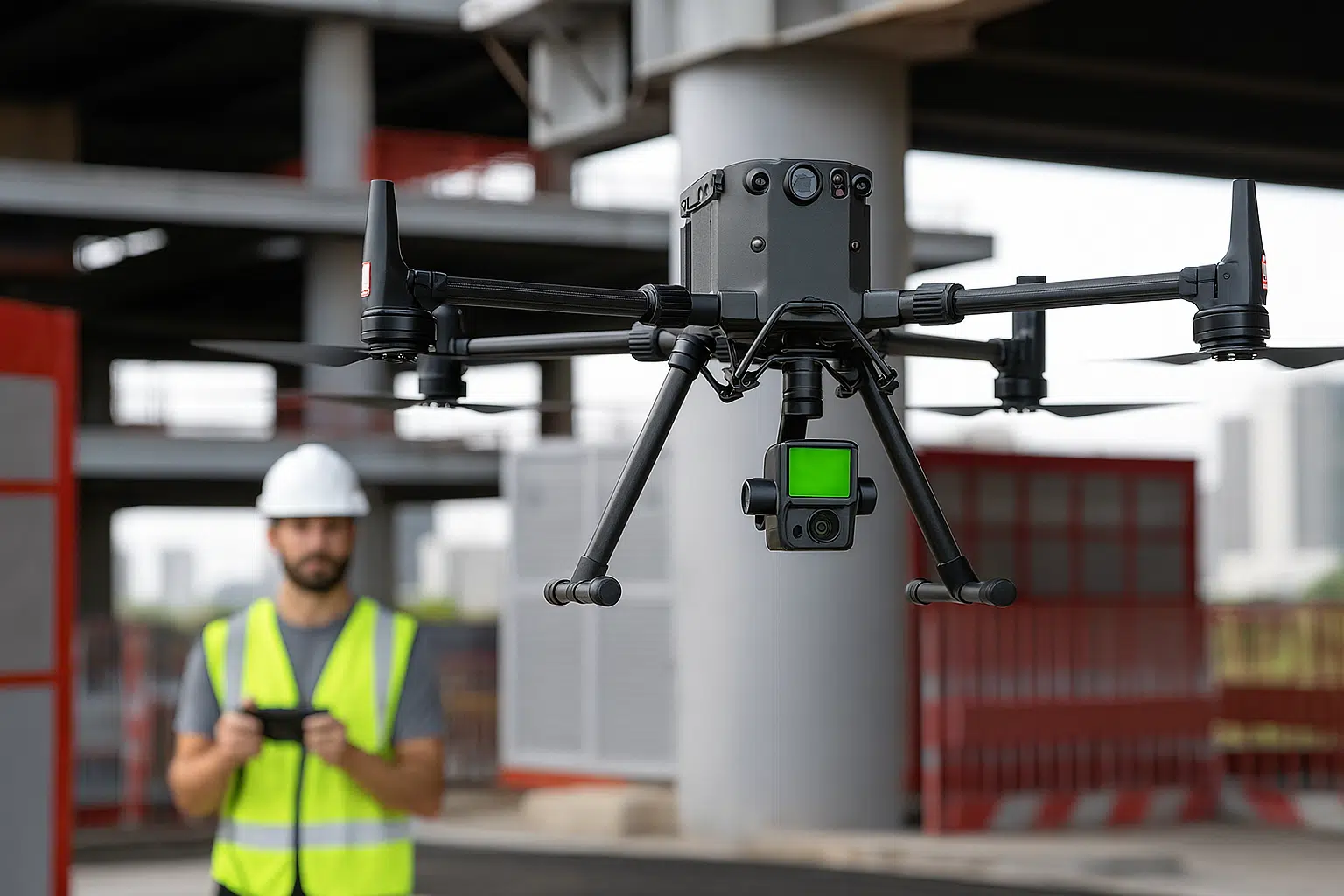
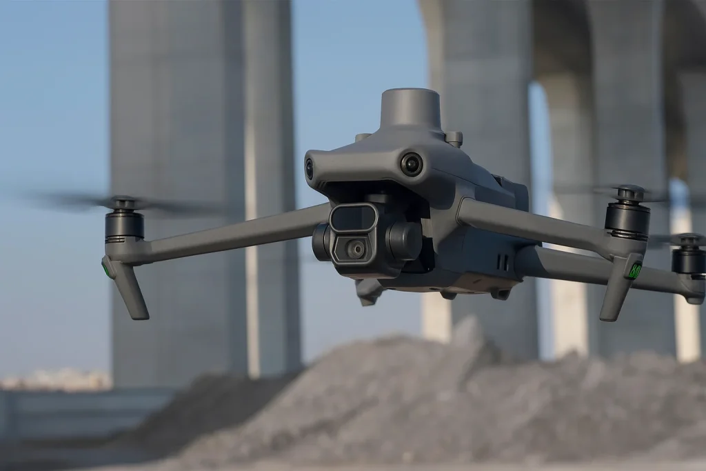
3D Laser Survey and Digital Twin

Create the Digital Twin of each real estate asset to view, understand and manage

Servizio di rilievo e censimento impianti Geomap

Plant census

Transform any building, facility or urban area into a navigable and measurable digital model

Inventario cespiti e riconciliazione contabile Geomap

Asset inventory and accounting reconciliation

Give coherence and value to your business assets

servizio di Scan to Bim di Geomap

Scan to BIM

We convert laser surveys into BIM models for efficient design and management.

Frequently Asked Questions about the Aerial Photogrammetry and LiDAR Survey Service with Drone

Aerial photogrammetry and LiDAR are two very different aerial survey techniques that serve complementary purposes.

Aerial photogrammetry is based on photographic images taken by a drone. The images are georeferenced and overlaid to generate 3D models, orthophotos, and surfaces. It is ideal for detailed visual representations and architectural surveys.

LiDAR (Light Detection and Ranging) uses laser beams to measure the distances from the drone to the ground or objects with extreme precision. It produces a high-density point cloud, capable of reading even under vegetation or in poor lighting conditions. It is perfect for topographic, environmental, and geological surveys.

👉 In summary:

Aerial photogrammetry → visual survey from images

LiDAR → metric survey from laser pulses
Geomap can offer you both, integrated into a single solution.

Yes. All drone surveys must be conducted in compliance with current ENAC regulations.
Geomap works with certified pilots and registered drones, and handles obtaining permits and flight plan management directly.
For critical areas (urban centers, infrastructure, airports), we request the necessary permits in advance.

Yes. The data is delivered in standard and interoperable formats such as GeoTIFF, LAS, SHP, DXF, and XYZ, compatible with major GIS (QGIS, ArcGIS) and CAD (AutoCAD, Civil 3D) software.
Upon request, we can also prepare the data for integration into BIM environments or Geomap platforms.

Absolutely. Aerial photogrammetry and drone LiDAR are perfect for surveying forests, agricultural areas, mountains, quarries, waterways, and rural or difficult-to-access areas.
LiDAR, in particular, allows you to read the terrain morphology even under vegetation, making it ideal for environmental and geological surveys.

Upon completion of the project, we will deliver a complete package of processed data, including:

High-resolution orthophotos

Digital terrain models (DTM) and surface models (DSM)

Point clouds (LiDAR)

Contour lines, meshes, or sections, if requested

Technical report, metadata, geographic coordinates, and flight documentation

All files will be provided in the most commonly used formats (GeoTIFF, LAS, DXF, SHP, PDF) and ready for use.

Yes. In many cases, we recommend an integrated approach.
We use photogrammetric sensors for visual and planimetric aspects and LiDAR sensors for altimetric and structural aspects (e.g., mapping under vegetation or uneven surfaces).
This combination ensures complete and complementary data, ideal for complex GIS, BIM, or landscaping projects.

SOFTWARE CMMS/IWMS LEADER IN ITALY

Easy to use. Immediate impact.

With Geomap’s Facility Management System you can optimally manage the maintenance and systems of any real estate asset.
With Geomap’s Asset Management System you have complete control of your company’s assets and end-to-end life cycle.
Geomap’s Urban Facility Management is the powerful tool for managing urban land, roads and lighting systems.

Contact us
today

Book a free consultation with one of our experts. In just a few minutes, you’ll understand the timeframes, costs, and results you can achieve with drone surveys.