3D Laser Scanner Survey and Digital Twin

Digitize properties and urban areas with maximum precision, transforming every building, facility, or urban area into a navigable and measurable digital model, ready for analysis, design, and maintenance.

Geomap rilievo laser scanner 3d digital twin

For over 25 years, we have supported .

From survey to digital model in 3 clear steps

Rilievo-Laser-3d-geomap

On-site technical survey

Our team performs surveys using high-precision 3D laser scanners, both indoors and outdoors.
The equipment allows us to acquire millions of measurements in just a few seconds, generating a high-density point cloud, complete with XYZ spatial coordinates and geometric details down to the millimeter.

Processing and modeling

The ultra-high-density point cloud is processed by our technicians to create highly accurate, structured, and navigable 2D, 3D, and BIM digital models. Each model is built to ensure:
  • interoperability with other information or management systems
  • geometric and topological accuracy
  • semantic data integration (technical data, location, components)
  • scalability for future updates
Geomap-nuvola-di-punti

Processing and modeling

The ultra-high-density point cloud is processed by our technicians to create highly accurate, structured, and navigable 2D, 3D, and BIM digital models. Each model is built to ensure:
  • interoperability with other information or management systems
  • geometric and topological accuracy
  • semantic data integration (technical data, location, components)
  • scalability for future updates
Scan to BIM Geomap

Delivery and integration

The result is a complete digital twin, ready to support technical analysis, design, maintenance, and lifecycle management of the asset.
The model is delivered in digital format and can be integrated into your software or our facility and asset management systems.

Geomap is certified according to the UNI EN ISO 9001:2015 standard for the provision of:

  • Topographic surveys
  • 3D laser scanner surveys
  • LiDAR aerial photogrammetric surveys with drones
  • Technical registry activities
Certificazione Iso 9001 Geomap
Iso 45001 geomap
Certificazione Pas 24000 geomap
Documented quality, traceable processes, and results that consistently meet expectations, even in the most complex projects.
Rely on a certified, recognized, and excellence-oriented partner.

Still having doubts about 3D laser scanning or wanting to know if it's right for your project?

Why choose Geomap's Digital Twin?

Maximum architectural precision – up to 1 mm accuracy

Immediate design and management support – BIM/CAD compatibility

Perfect integration with the software – data immediately usable in the platform

Related services

Geomap Aerofotogrammetria e rilievo LiDAR con drone

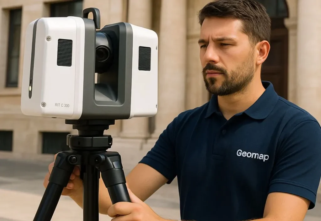
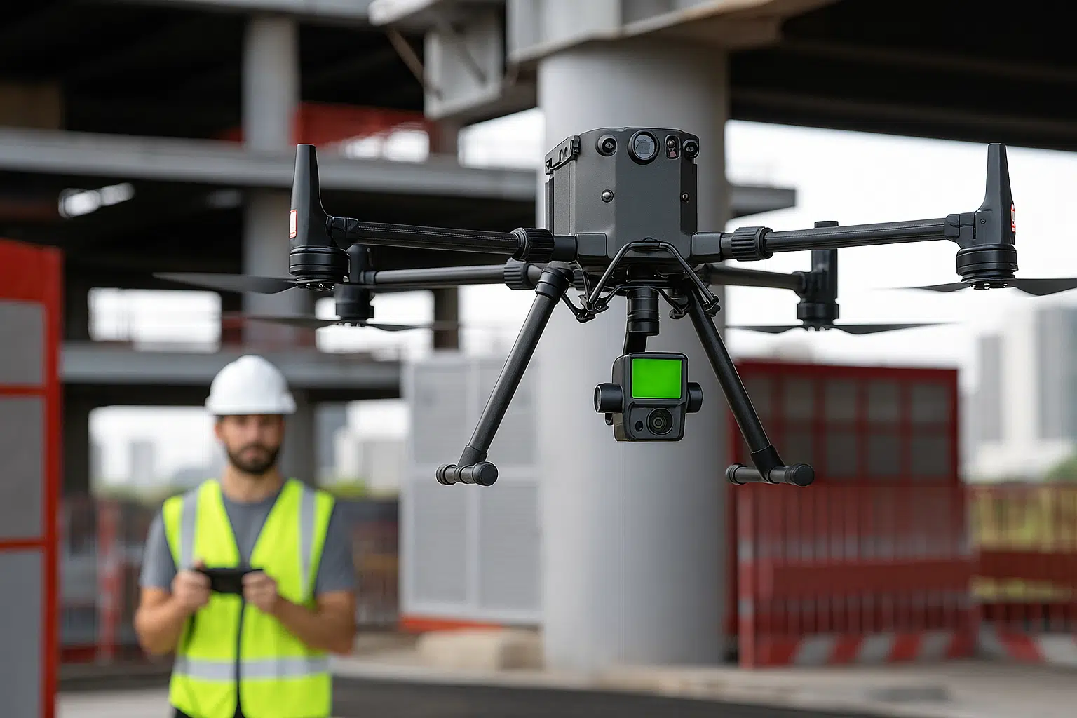
Lidar survey with drone

Map large areas in high definition and with maximum precision
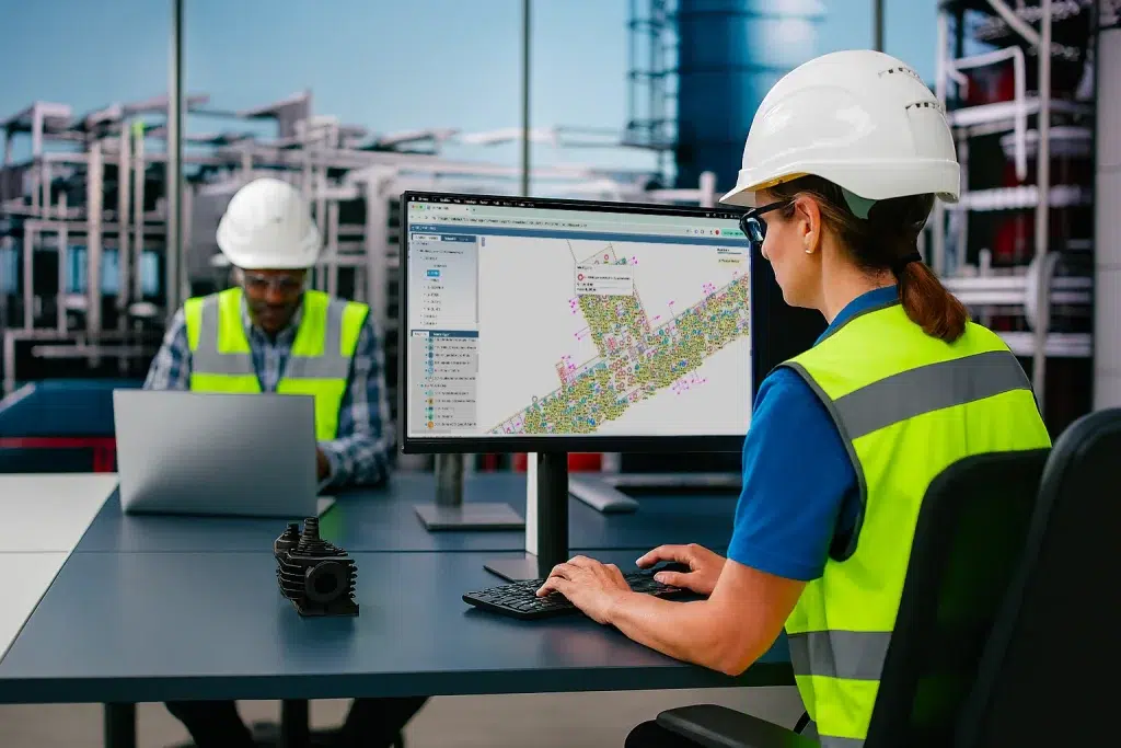
Servizio di rilievo e censimento impianti Geomap

Plant census

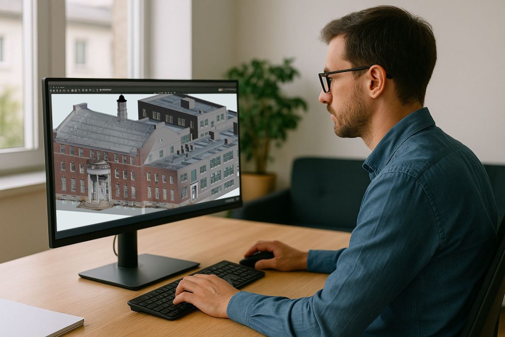
Transform any building, facility or urban area into a navigable and measurable digital model

Geomap Inventario Cespiti Riconciliazione Contabie

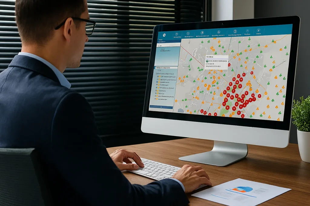
Asset inventory and accounting reconciliation

Give coherence and value to your business assets

servizio di Scan to Bim di Geomap

Scan to BIM

We convert laser surveys into BIM models for efficient design and management.

SOFTWARE CMMS/IWMS LEADER IN ITALY

Easy to use. Immediate impact.

With Geomap’s Facility Management System you can optimally manage the maintenance and systems of any real estate asset.
With Geomap’s Asset Management System you have complete control of your company’s assets and end-to-end life cycle.
Geomap’s Urban Facility Management is the powerful tool for managing urban land, roads and lighting systems.

Frequently Asked Questions about 3D Laser Scanner Surveying and Digital Twin

The point cloud is a collection of millions of measurements acquired during a 3D laser survey, each with XYZ spatial coordinates. This raw data faithfully represents the real space (walls, systems, structures, furnishings) and serves as the basis for creating 2D, 3D, or BIM models.
The denser the point cloud, the more accurate the digital model: essential for measurements, design, maintenance, or integration into information systems.

We can survey any environment: residential, industrial, school, and hospital buildings, urban areas, technical facilities, warehouses, garages, utility rooms, and infrastructure.
Our technology is also suitable for complex, irregular, or poorly documented spaces. The entire process is suitable for indoor, outdoor, and mixed surveys.

It depends on the surface area and complexity.
The delivery of the digital model depends on the type of processing requested (cloud, 2D, 3D, BIM, etc.).

Yes. The generated model can be used for architectural and plant design, dimensional and volumetric verification, surface area control for cost estimation, drafting technical drawings, or supporting building applications.
In facility or property management, it is useful for mapping systems, equipment, accessibility, evacuation plans, etc.

Of course. The model is scalable and updatable, designed to evolve over time.
We can perform additional surveys, update the existing data, or add new information layers (documents, codes, IoT sensors, technical records, QR codes). The digital twin is not static; it lives alongside your assets.

Absolutely. We've worked with public entities, healthcare companies, government agencies, and multinationals to digitize even very large real estate portfolios.
We offer large-scale planning, survey logistics management, centralized delivery, and ISO 9001:2015 certification to ensure quality and traceability.

Contact us
today

Book a free consultation with one of our experts. In just a few minutes, you’ll understand the time, cost, and results of 3D laser surveying for your project.