Our Facility Management and Asset Management Services
Technical, digital, and operational solutions to enhance every asset, property, and system.
From 3D surveying to digital modeling, from technical census to accounting reconciliation, Geomap services support you through every phase of asset management.
Our approach combines advanced technologies, specialized skills, and a strong focus on quality to offer customized solutions to public administrations, healthcare organizations, industries, and retail businesses.
On this page, you’ll find all our services: each is designed to integrate seamlessly with our software or your systems, and to effectively meet your digitalization, control, and sustainability needs.
Our services
We physically record and inventory each asset, verify its alignment with the fixed asset register, resolve any discrepancies, and provide you with an updated, certifiable asset base that can be integrated with your management system.
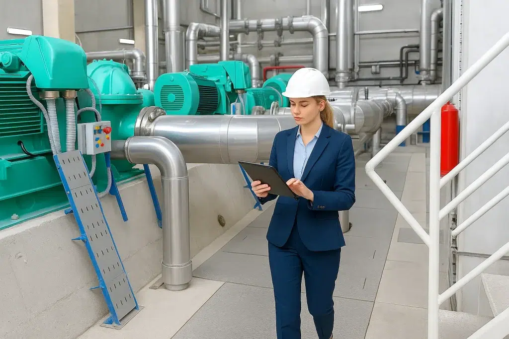
With Geomap, you can digitize every system: location, coding, technical data, documentation, and maintenance status.
Comprehensive and reliable mapping, ready to improve safety, traceability, and intervention planning.
With Geomap, you can digitize every system: location, coding, technical data, documentation, and maintenance status.
Comprehensive and reliable mapping, ready to improve safety, traceability, and intervention planning.
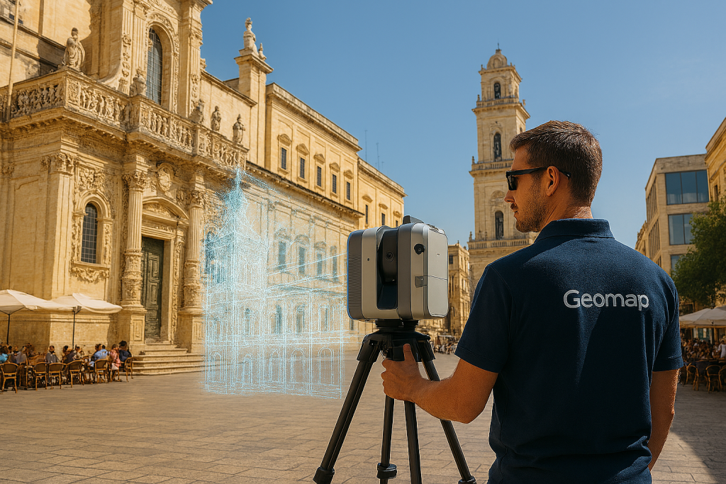
Digitize properties and urban areas with maximum precision, transforming every building, facility, or urban area into a navigable and measurable digital model, ready for analysis, design, and maintenance.
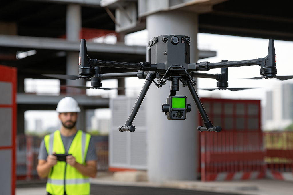
With Geomap, you can acquire high-resolution geospatial data from drones and transform it into reliable digital models. Ideal for urban, industrial, infrastructural, environmental, or agricultural surveys.
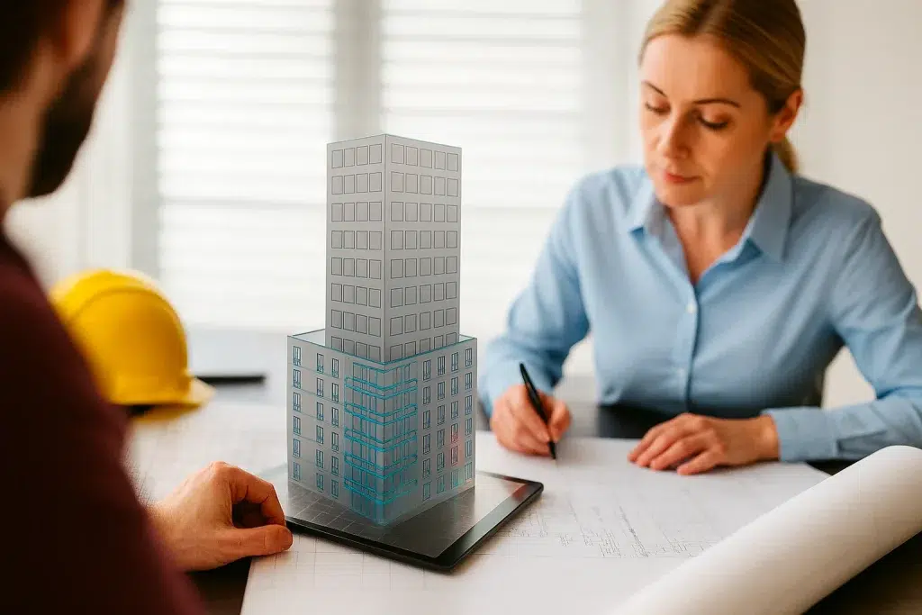
We transform 3D laser surveys into accurate, interoperable, and scalable BIM models. From survey to modeling, we deliver a structured digital asset, ideal for architectural design, facility management, costing, and technical maintenance.
We convert 3D laser surveys into precise, georeferenced, and standards-compliant CAD drawings. From survey to delivery, we provide you with plans, elevations, sections, and construction details ready for design, technical documentation, or digital archiving.
Next step
Book a free consultation with a Geomap expert: in 30 minutes you’ll understand how our services can support your growth.